I received Ph.D degree in seismology at Nanjing University. My research focuses on advancing seismic tomographic techniques for investigating earth’s internal structure. I specialize in full-waveform inversion using receiver function, surface wave and local earthquakes to image earth discontinuities, velocity structures and anisotropies.
From Dec 2021 to Jun 2024, I worked for Mathematical Imaging and Geophysics Group at Nanyang Technological University as a research fellow, supervised by Ping Tong.
Since Jul 2024, I have joined Department of Physics, University of Toronto as a postdoctoral fellow, working with Qinya Liu.
I am a core member of the TomoATT Community for developing open-source seismic tomography software SurfATT and TomoATT. I am also a maintainer of the seispy package for receiver function data processing.
Research Interests
- Inverse problem in seismology: Full-waveform inversion; Adjoint-stats traveltime tomography.
- Seismic modeling and simulation: Wave propagation in complex media; Traveltime modeling.
- Artificial intelligence: Neural network for PDE solver and seismic inversion.
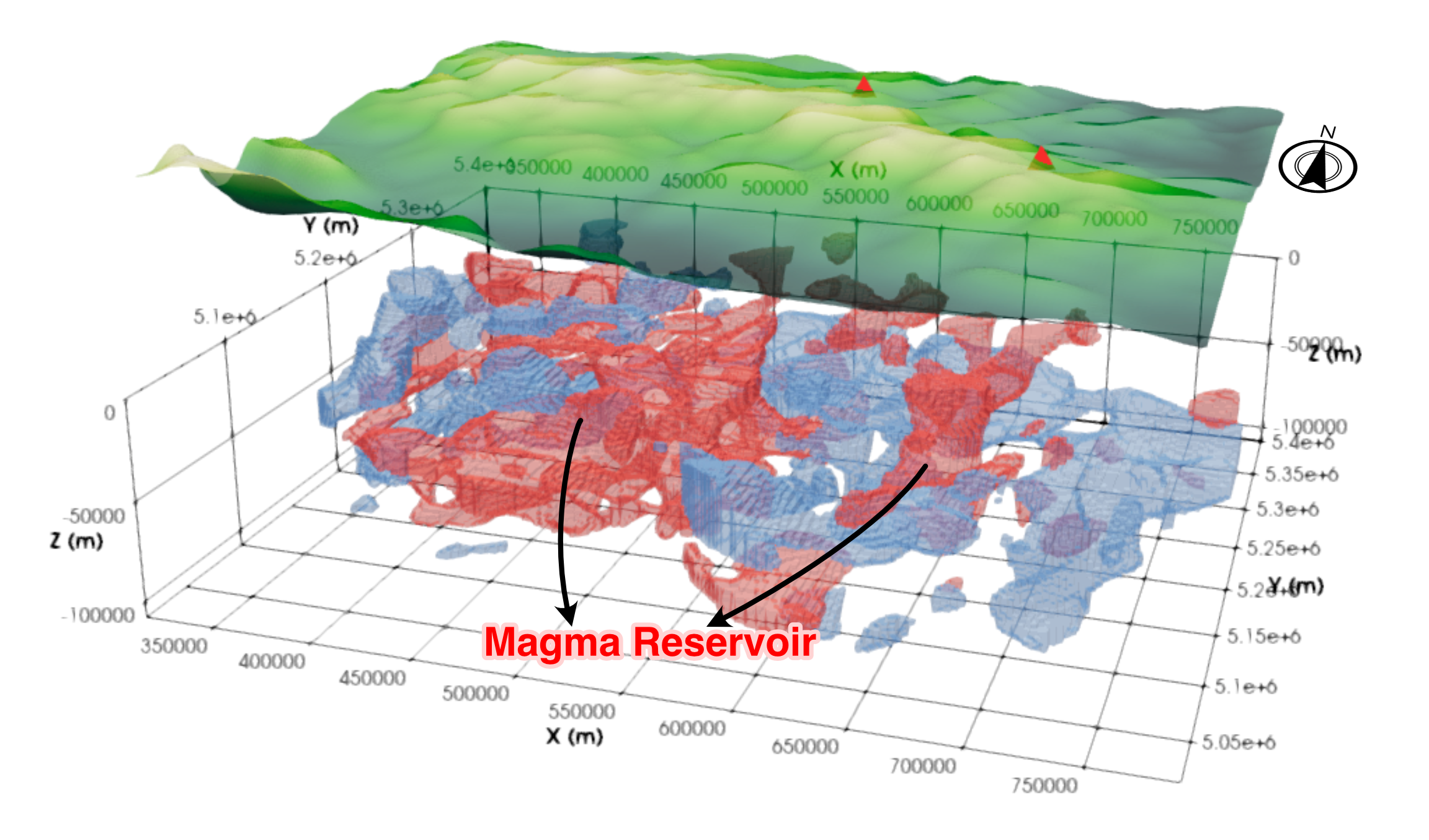
- Geophysical Survey: Shallow subsurface structure imaging; Lithospheric imaging and dynamics.
Seismological Software
SpecFWAT
Specfem3D-based Full-waveform Adjoint Tomography Package for High-resolution Lithospheric Imaging.
SurfATT
An innovative package for Surface wave Adjoint Travel-time Tomography.
TomoATT
An open-source, HPC-ready library for highly efficient seismic tomography.
PyTomoATT
A Python module to provide interfaces for TomoATT.
Seispy
A Python module of seismology and receiver functions.
RefATT
A high-performance package for refraction and reflection travel-time tomography based on adjoint-state method.
Featured Projects
Joint Full-waveform Adjoint Tomography
This study presents a novel joint method that integrates receiver function adjoint tomography with ambient noise adjoint tomography to create a high-resolution 3D velocity model of the Hangay Dome in Central Mongolia.

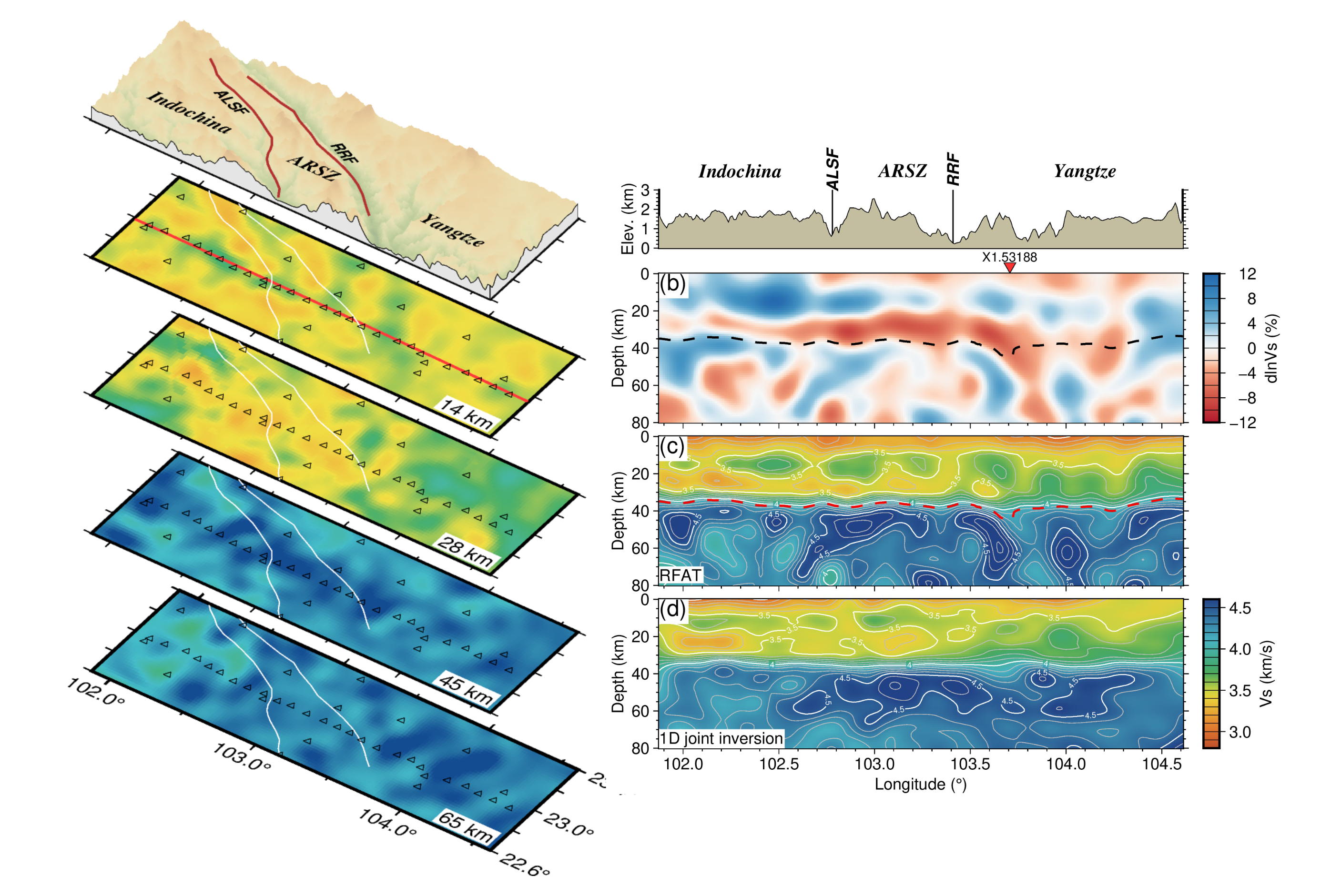
Receiver Function Adjoint Tomography
This project implements receiver function adjoint tomography to image the crust and upper mantle structure beneath a specified region.
